Main Features
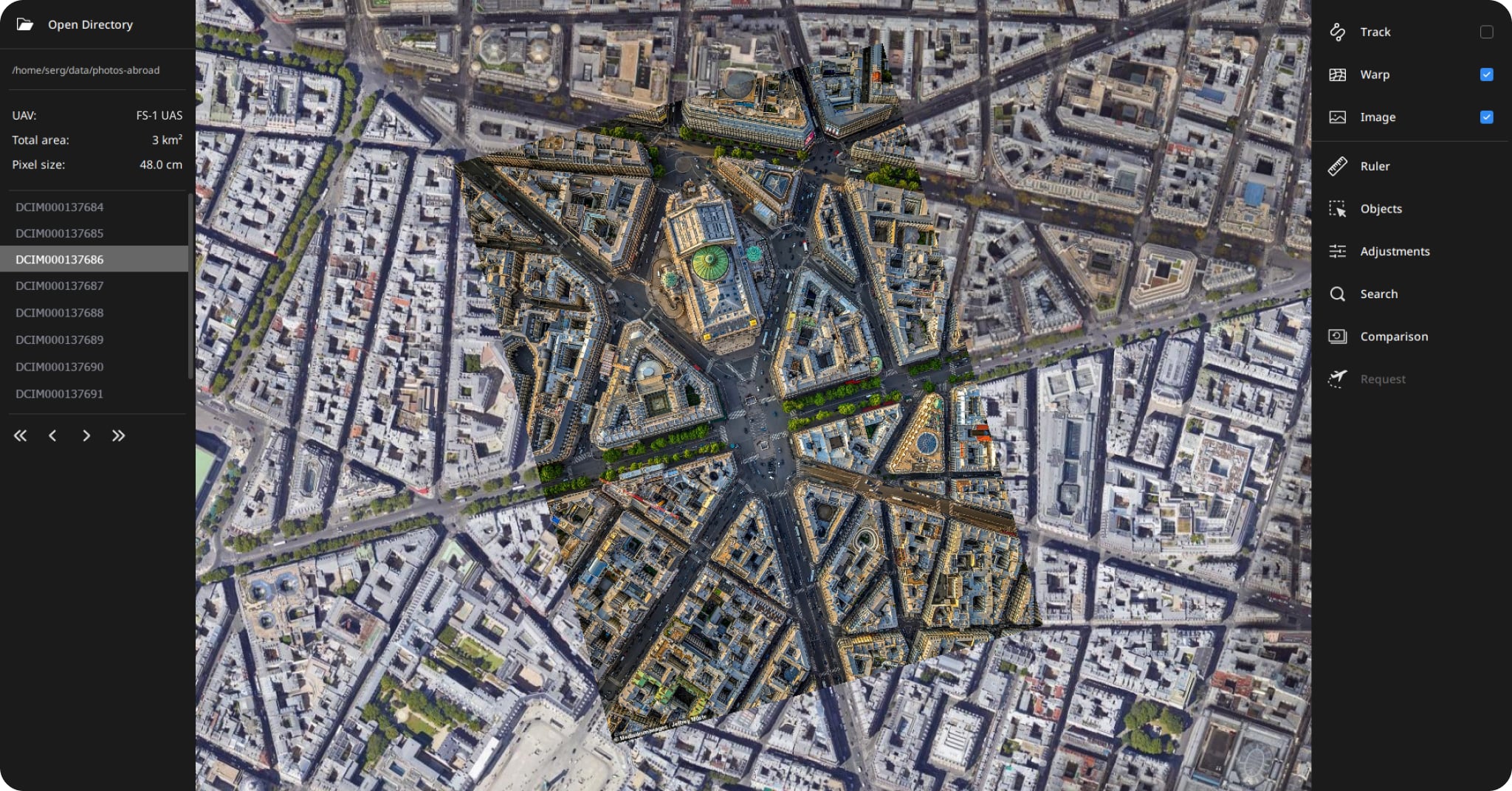
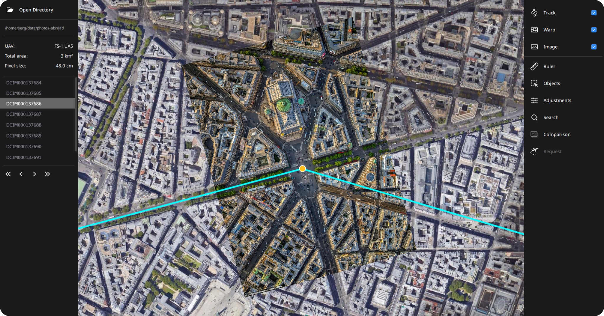
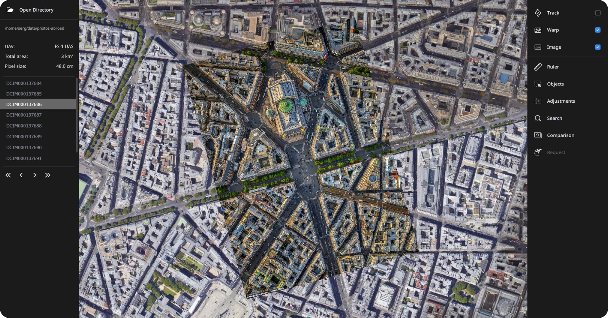
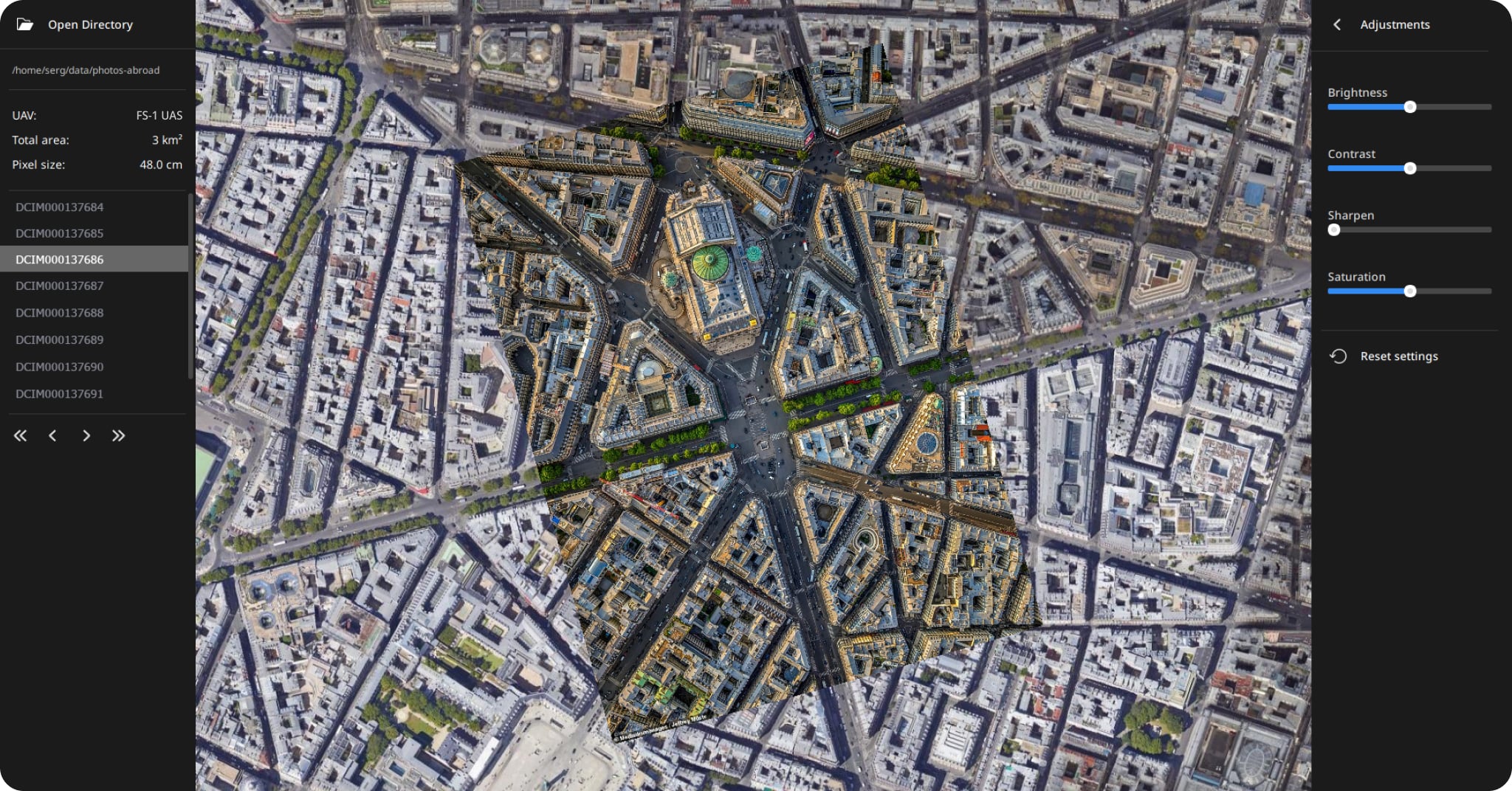
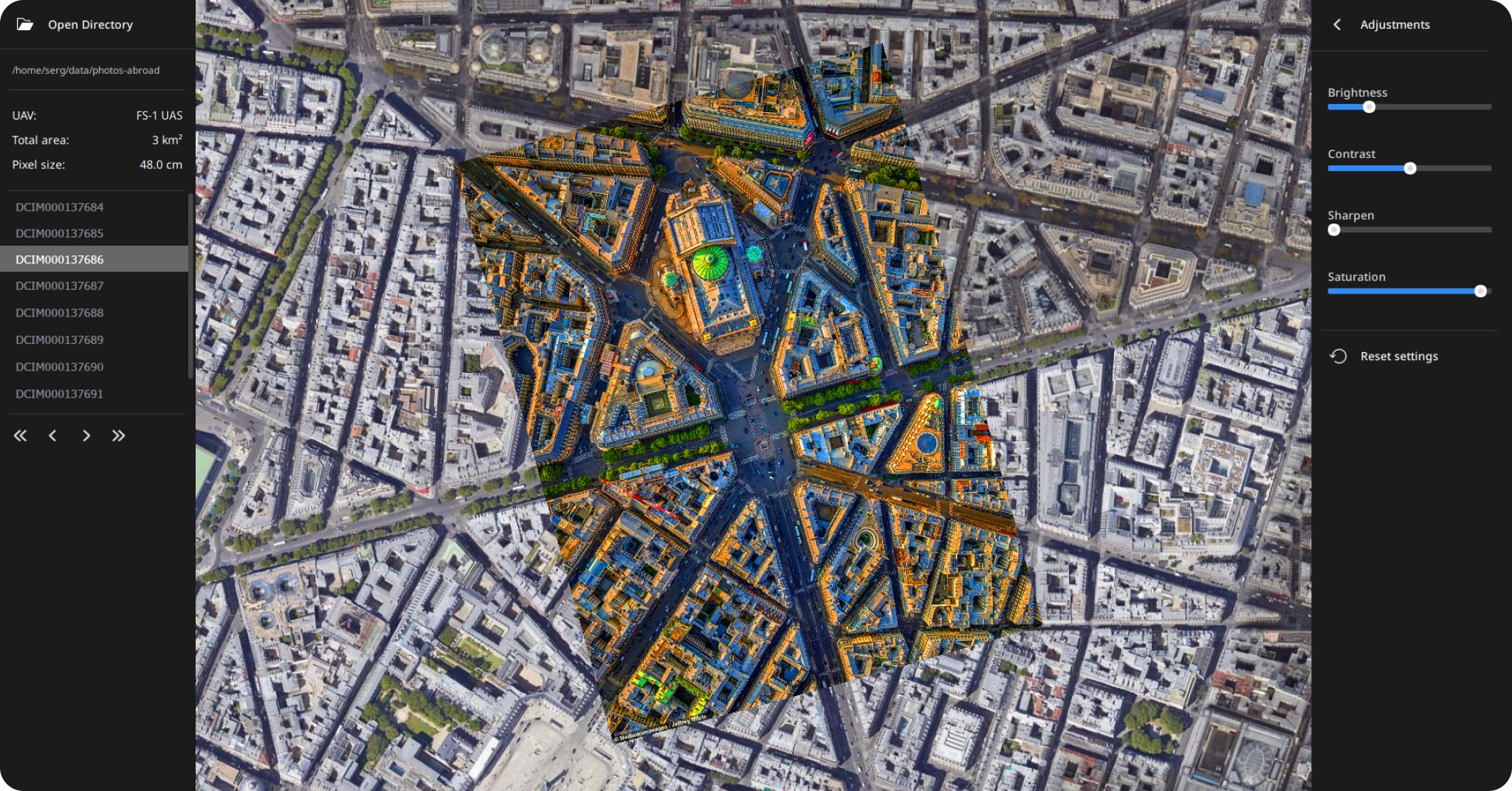
Instant Geo-Registration
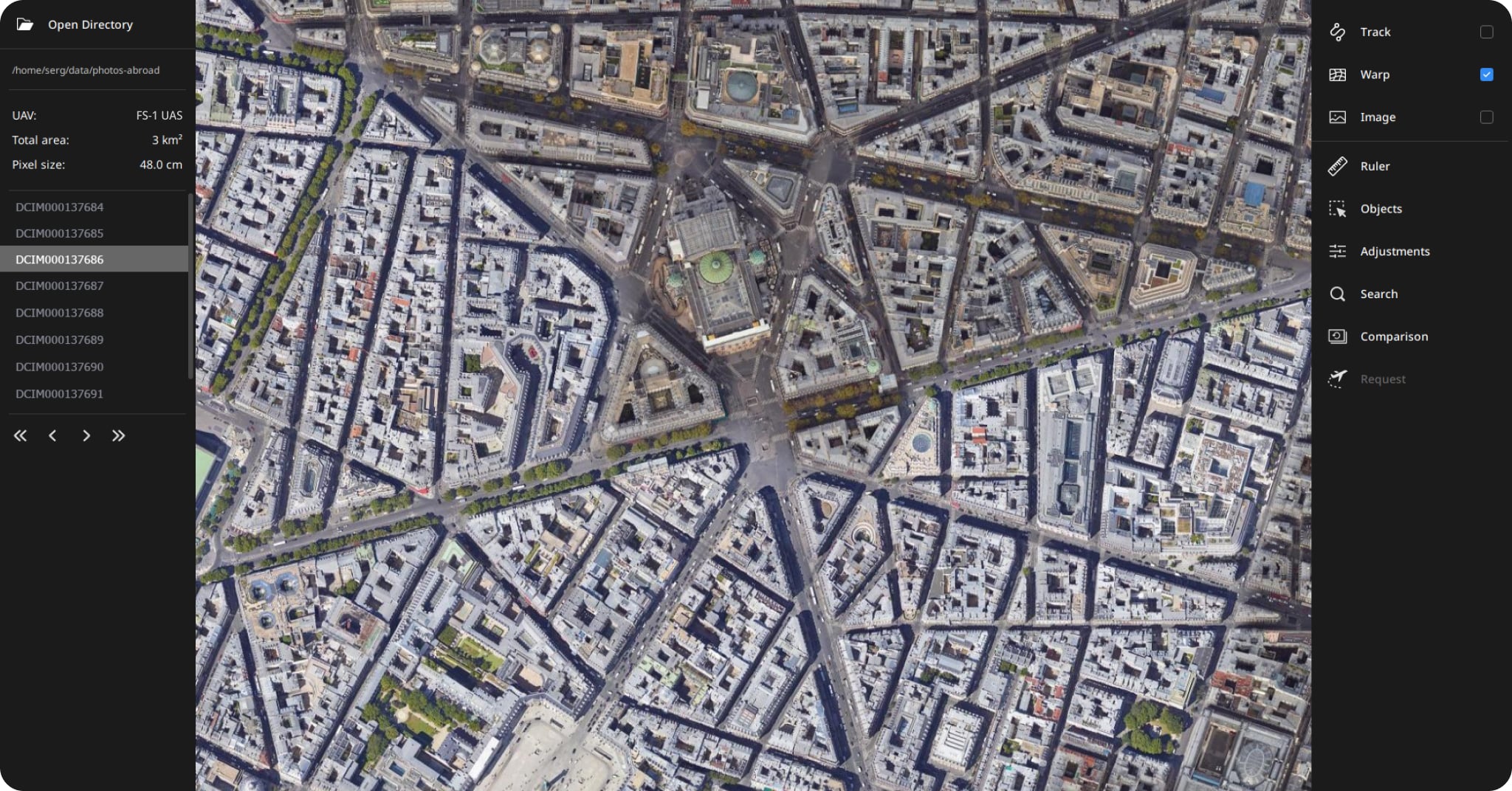
Harness the power of AI with Warp to align your projects with satellite imagery, ensuring pinpoint accuracy every time.
Achieve centimeter-level precision through real-time, precise alignment of UAV data with geographic coordinates, enabling seamless integration and high precision for all your mapping and surveying needs.
Visual Control Suite
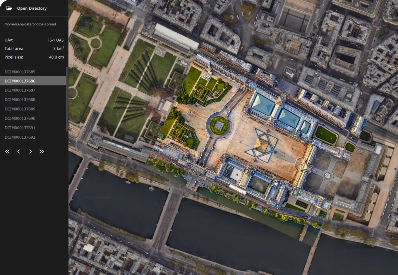
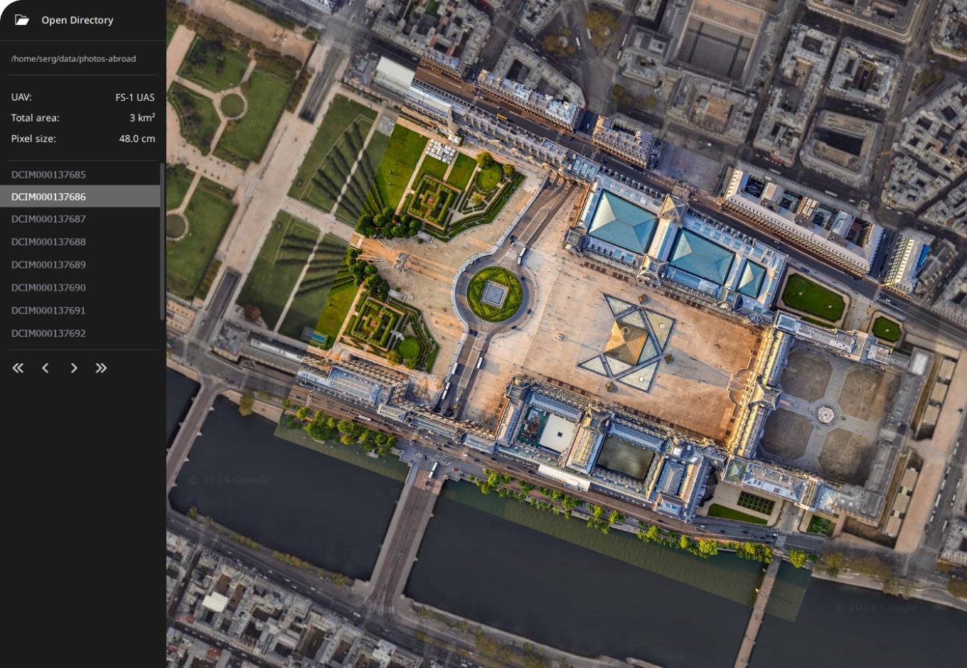
Interactive Mapping Tools
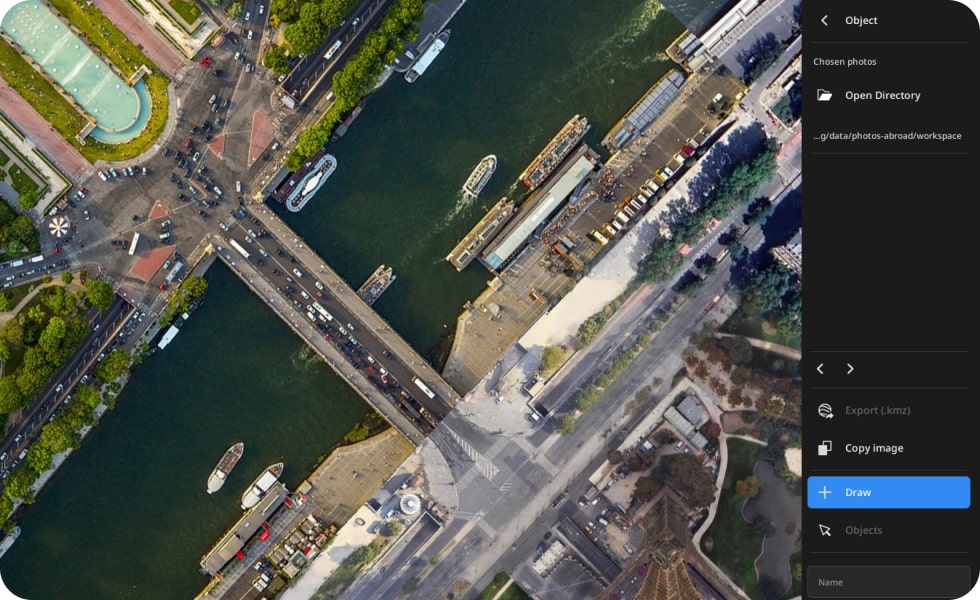
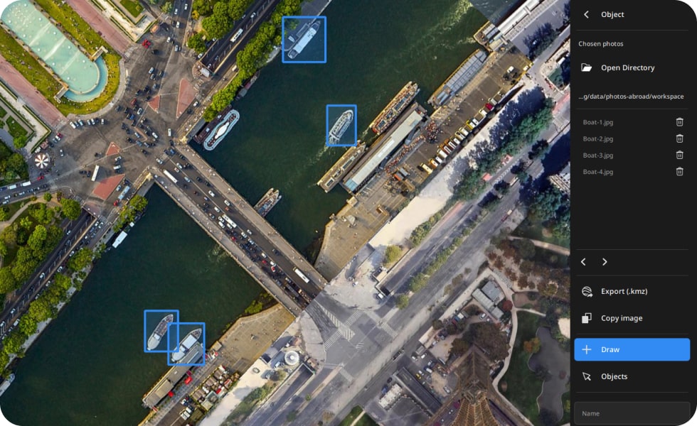
Object
Quickly select and annotate images on the fly, seamlessly exporting data to Google Earth and other compatible GIS software for easy integration.
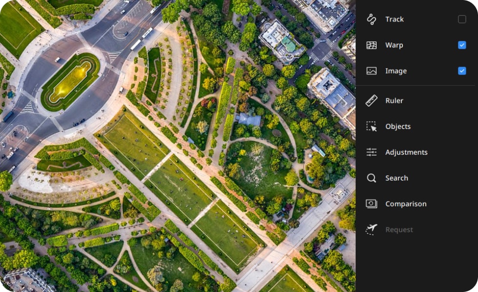
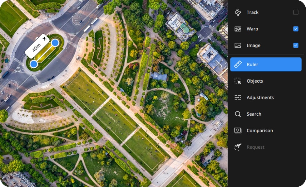
Ruler
Effortlessly measure distances on the map to enhance your spatial analysis and ensure precision in your projects.
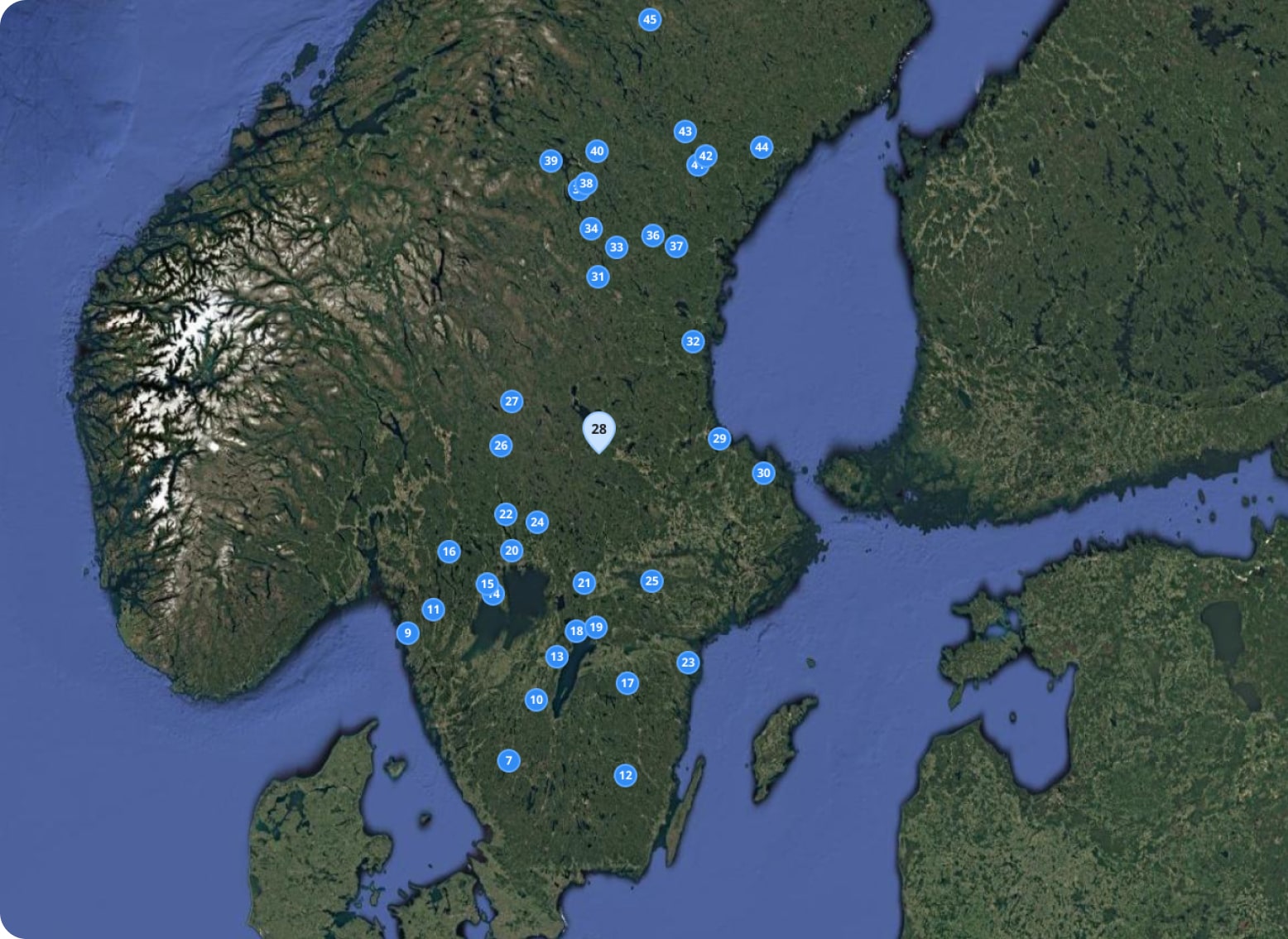
Network-Independent Search Tool
Experience seamless online and offline area search capabilities, perfect for situations without network access. Whether for first responders or agricultural applications, our tool ensures you can locate critical information anytime, anywhere.

Change detection
Swiftly identifies and highlights environmental alterations for accurate monitoring and analysis
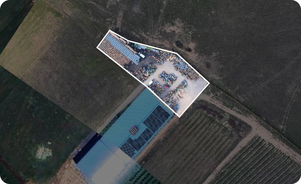
30.04.2024
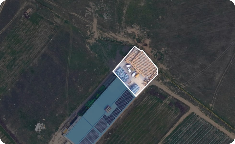
09.03.2023
Compatibility with GIS
Seamlessly integrates with GIS platforms, enhancing data visualization and facilitating comprehensive geographic insights.


